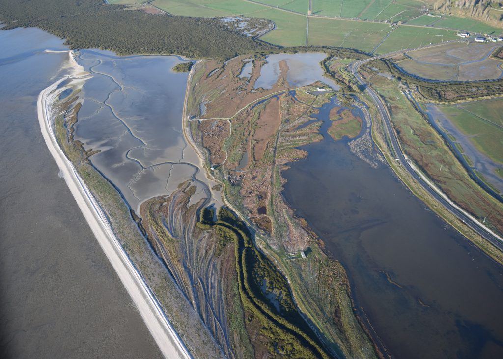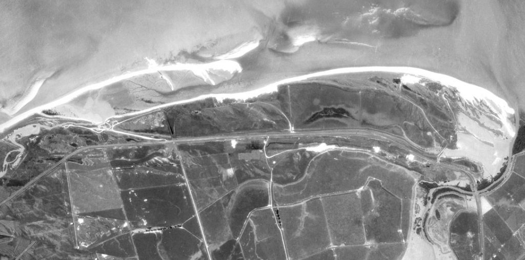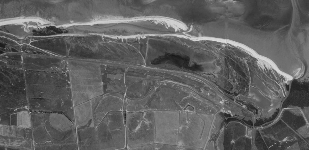
On the western side of the bay is a narrow coastal plain comprised entirely of shell ridges, or cheniers, separated by in filled mud which has built up over the last 4500 years.
This is considered to be one of the best examples of an active shell chenier plain anywhere in the world. A few hundred metres in front of the Shorebird Centre, the most recent ridge forms the present coastline. To the south it becomes a spit which, at high tide, is usually covered with roosting shorebirds.
The presence of so many shells is an indicator of just why those birds are here. The estimated 8500 kms of intertidal flats on the Firth are rich in benthic fauna, or shorebird food. This is rich habitat where godwit and knos, stilt and oystercatcher, dotterel and wrybill can forage for molluscs, gastropods, crustaceans and polychaete worms. Once the incoming tide covers the flats, the birds flock to good roost sites on the adjacent shell banks. These spectacular high tide roosts offer excellent viewing to visitors and are easily accessible from the Shorebird Centre.

At Pūkorokoro you can see what some say is the finest example of an active shell and sand chenier plain anywhere in the world. A chenier is a beach ridge resting on silty deposits which has become isolated from the shore by a band of tidal mudflats. A chenier plain consists of a series of cheniers separated by mudflats. The Miranda-Kaiaua cheniers are first formed as sand and cockle-shell bars on the foreshore or intertidal flats. The bars are then moved landward by wave action. Eventually the bars attain sufficient height to withstand such wave action. Deposition of fine sediments also occurs in the embayment created on the landward side of the shell ridge. These sediments accumulate to such an elevation that mangroves and other saltmarsh plant species can colonize the area. Their stabilising roots assist in the accumulation of mud and a process of natural reclamation occurs, thus building up the plain.

A succession of 13 shell ridges is recognisable on the 2km-wide coastal plain that has built out from the old cliff-line around Miranda in the few thousand years since the seas level rose after the end of the last ice age. The cheniers range from less than one metre to a little over two metres in height, from 20 to more than 100 metres wide, and 0.5 to 4 kilometres in length. The oldest ridges at the back of the plain are a metre or so higher than those near the modern shore. Shells within the old ridges have been carbon-dated to determine their various ages. Results show that 3900 years ago the sea level was 80cm higher than today. It fell gradually until 1200 years ago, and since then has remained relatively steady at its present height.
